Category: Photography

  • On Atlantic Avenue: The Rapid Transit Line That Isn’t

    On Atlantic Avenue: The Rapid Transit Line That Isn’t

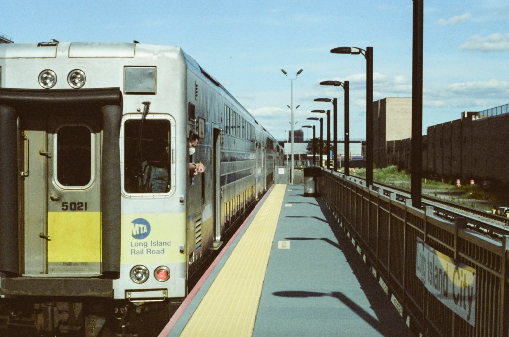
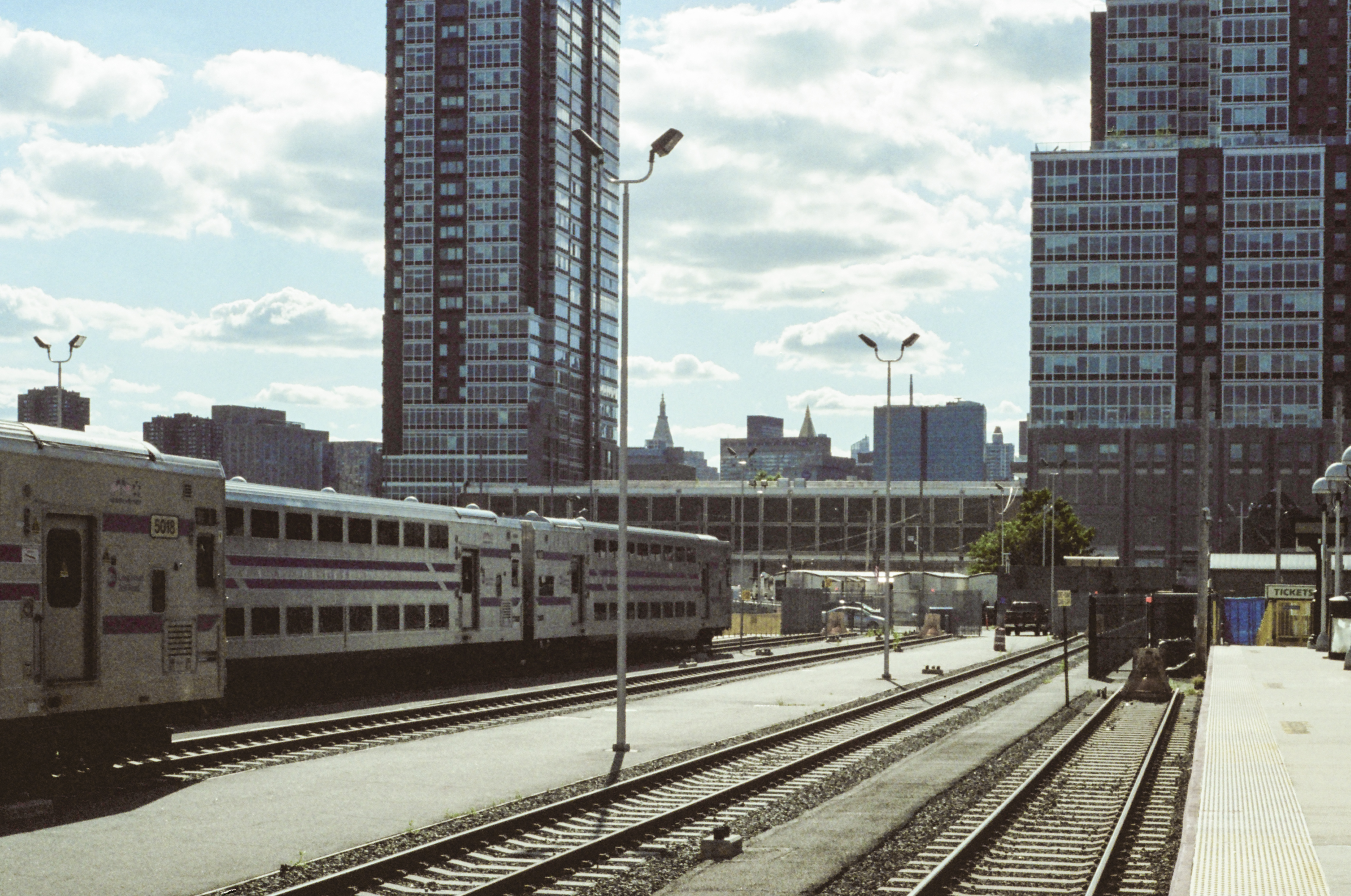
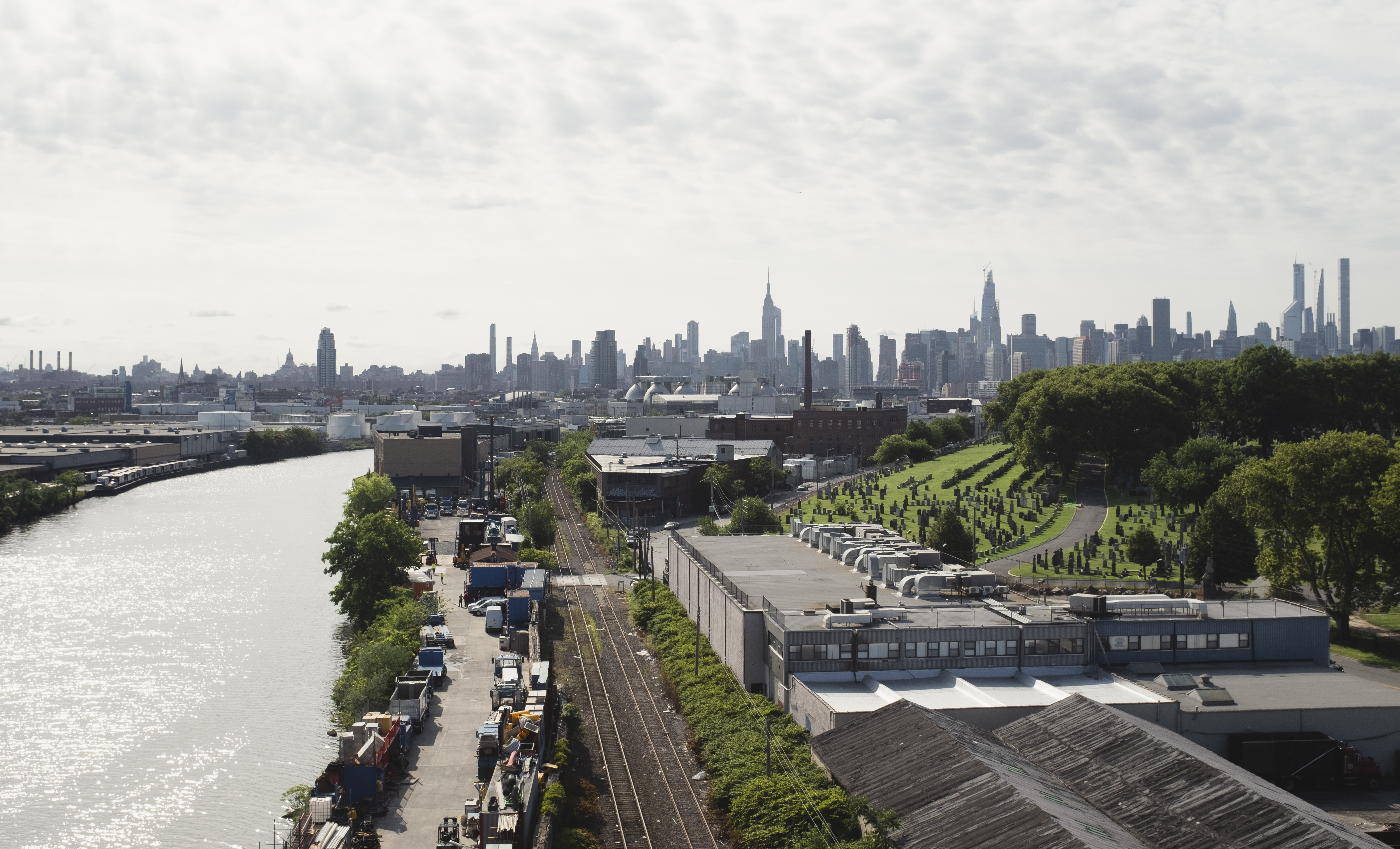
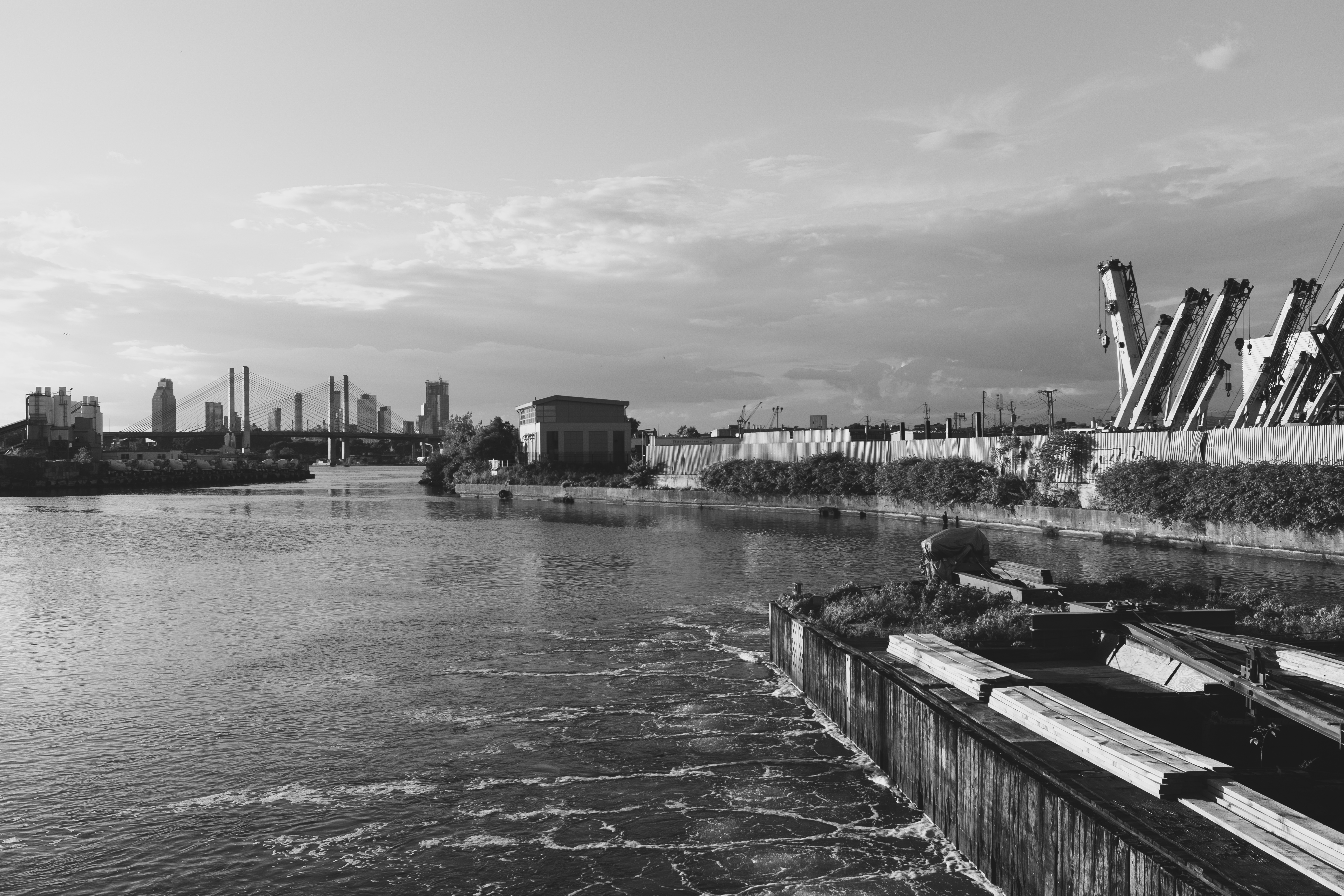
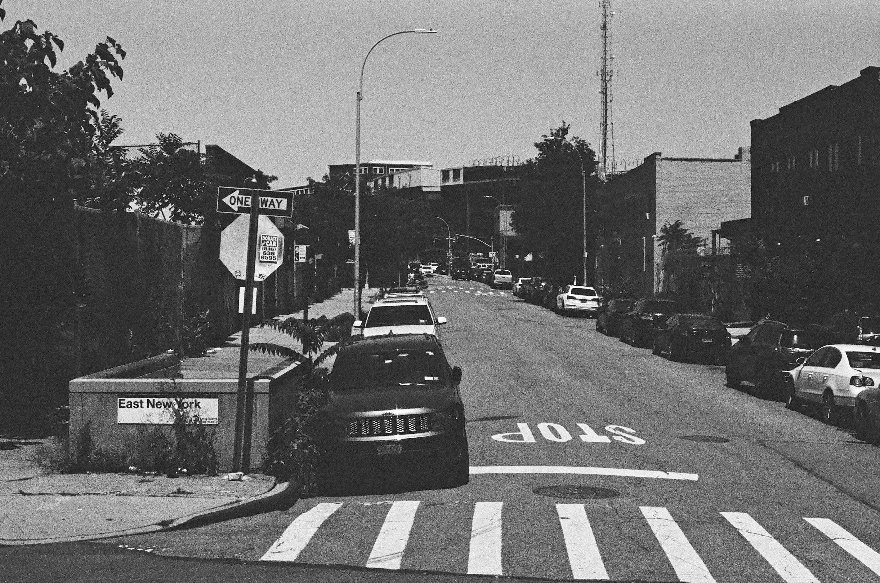
    Stretching from Downtown Brooklyn to Jamaica, and then onwards to Southeast Queens, the Long Island Rail Road’s Atlantic Branch carries commuter trains on a line that, in many places, looks more like a forgotten part of the New York City Subway. I usually have little reason to use the Atlantic Branch but, thanks to summer rebuild work on the J subway line in Jamaica, rides on the Atlantic Branch were made free for MetroCard-carrying riders. I took advantage of this momentary lapse in our normally-fragmented transit fare system to ride the line between East New York and Atlantic Terminal in Downtown Brooklyn.

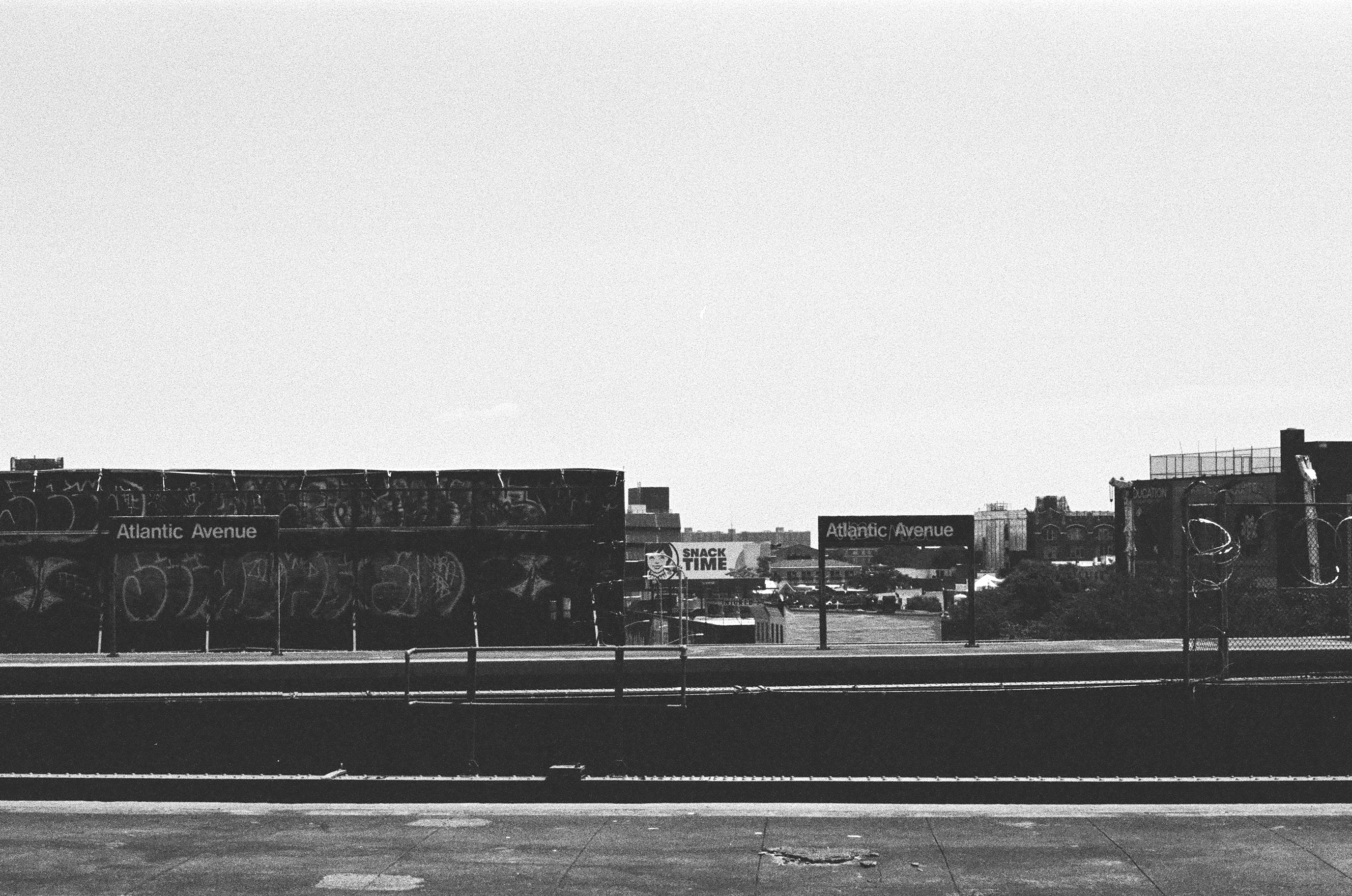
    East New York is an area where the infrastructure really a story of another era. At one time, three elevated lines—the Fulton Street, Jamaica, and Canarsie lines—converged here. Trains on any of the three lines coming from eastern Brooklyn and Queens could change at East New York to any of the three routes on to Manhattan (and vice versa). Though the latter two lines remain today (the Fulton Street elevated was replaced by a subway, now the A and C lines), transit operations around East New York today are much simpler. The Atlantic Avenue station on the Canarsie line (today’s L train) has two disused platforms and four disused trackways—a legacy from when both Canarsie and Fulton Street trains used the station.

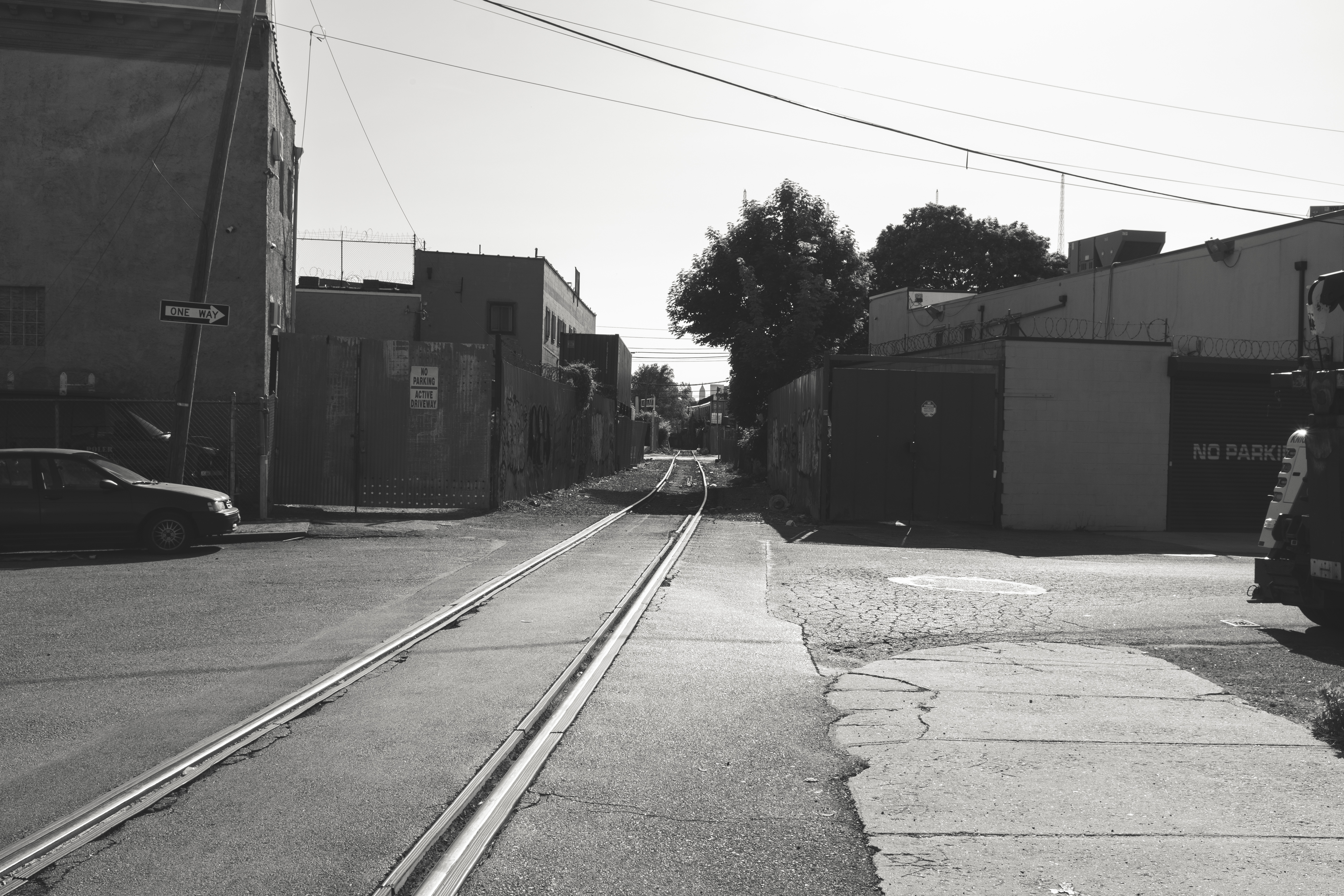
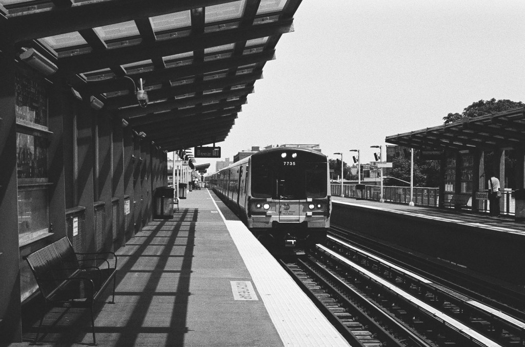
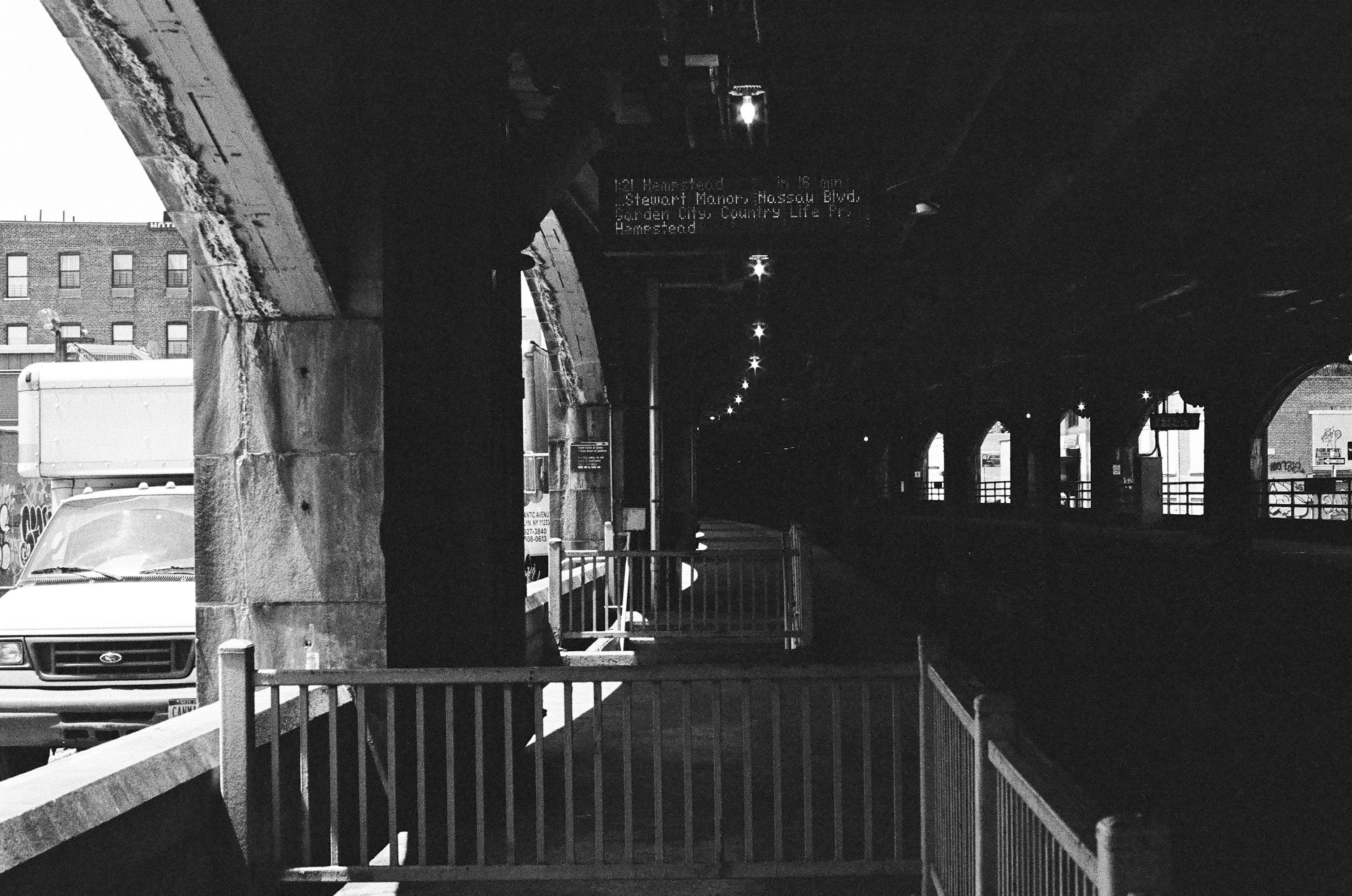
    The Atlantic Avenue station offers a connection to the Atlantic Branch, which runs on a strange right-of-way through East New York: the train tracks are at grade-level, but are separated from traffic, as Atlantic Avenue runs on an overpass above the station. The entrance to the LIRR’s East New York station is not the most well-advertised—you enter through one of the archways of the Atlantic Avenue overpass on to the platforms.

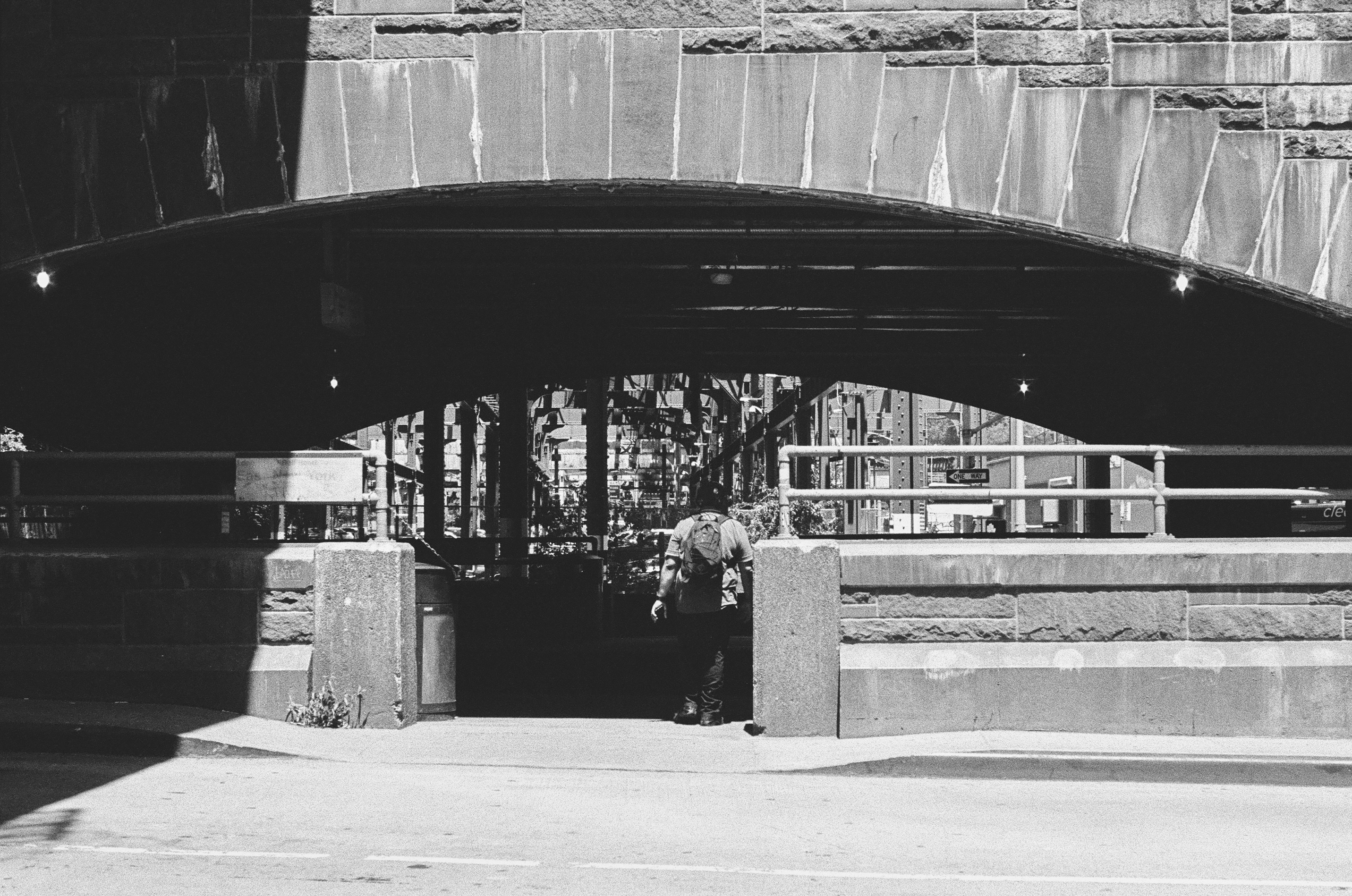
    There are also two subway-style underpass entrances to the station, saving passengers from crossing often-fast-moving traffic adjacent to the station, which are also very low-key. This is such entrance viewed from the LIRR platform, with an L train passing above, headed for Canarsie.

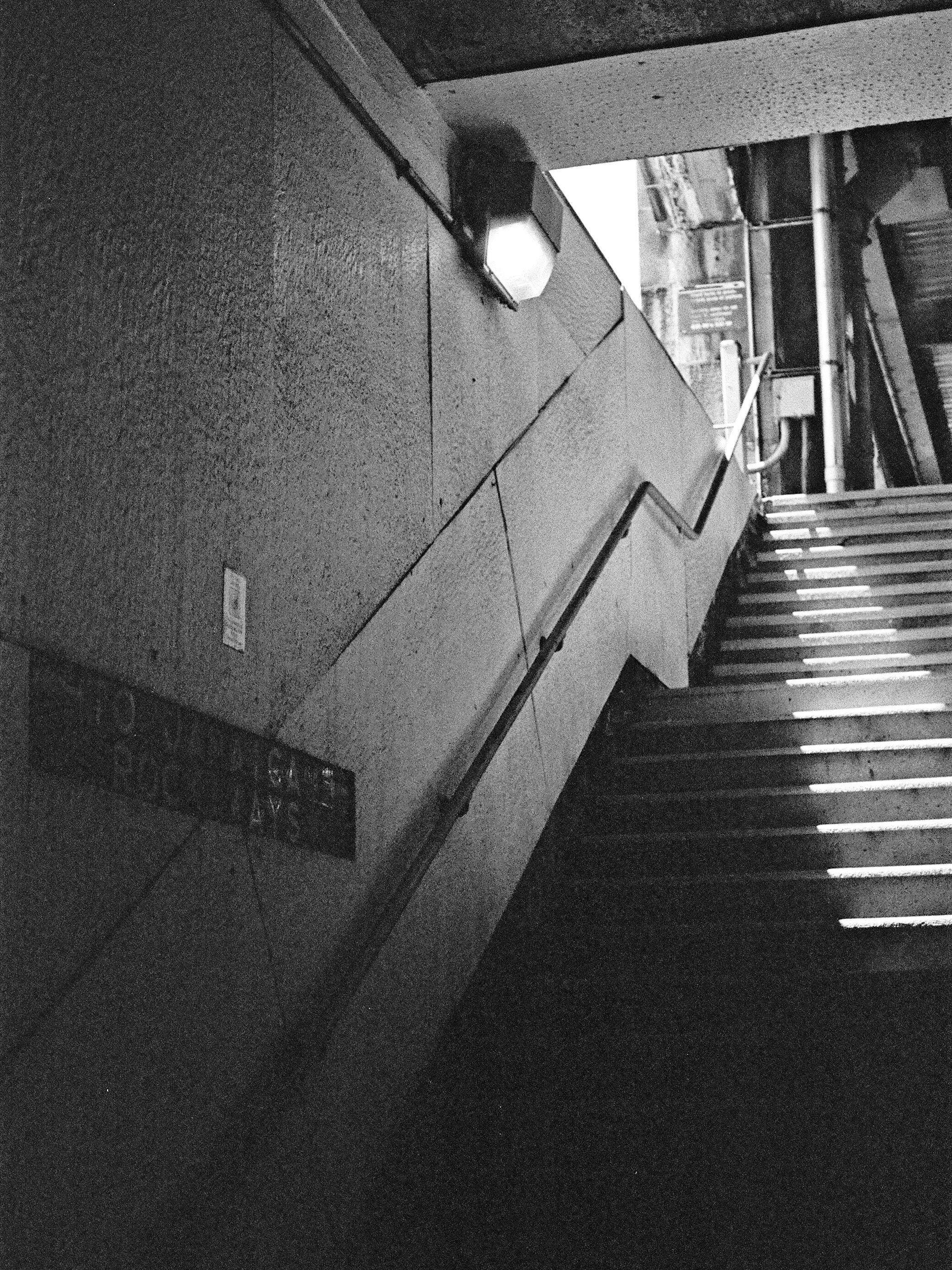
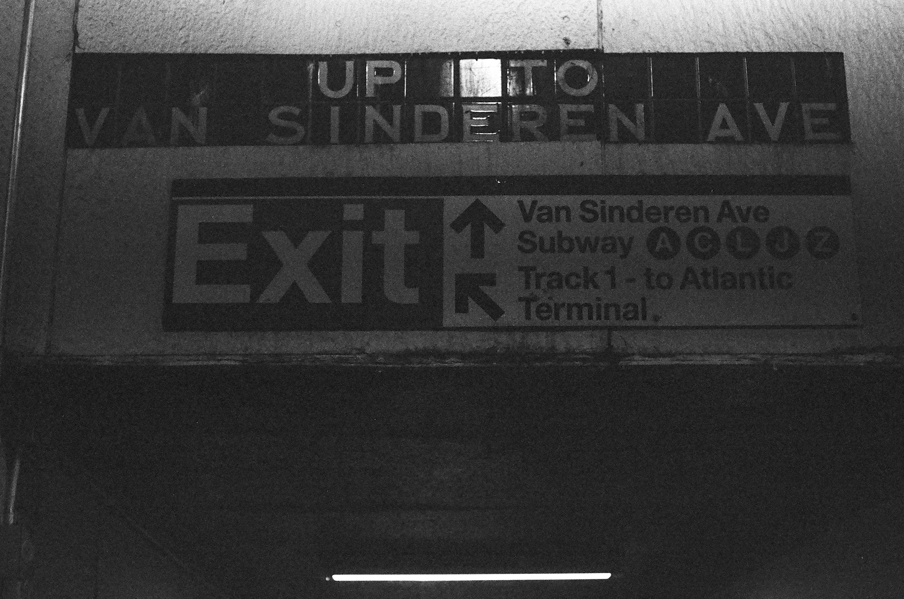
    Because the railroad tracks are at grade-level, the station underpasses are also the only way for pedestrians to cross the tracks (and Atlantic Avenue) in this area. The underpass entrances lead to either platform, and contain old mosaic signs in a similar style to subway stations built by the city-run Independent Subway (IND). The sign pointing to the eastbound platform reads “to Jamaica and the Rockaways:” LIRR trains, of course, once ran on what is now the A subway line to the Rockaways.

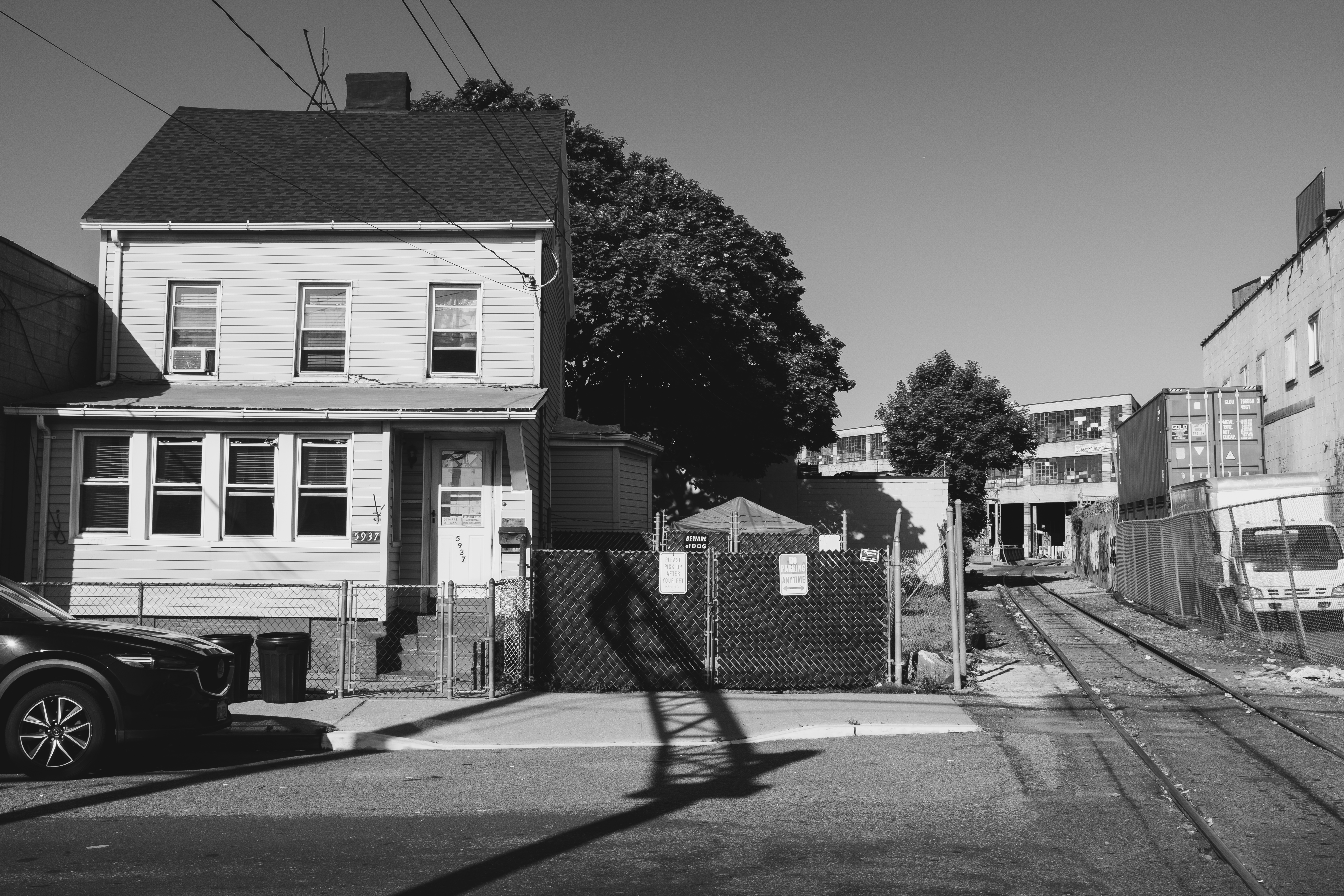
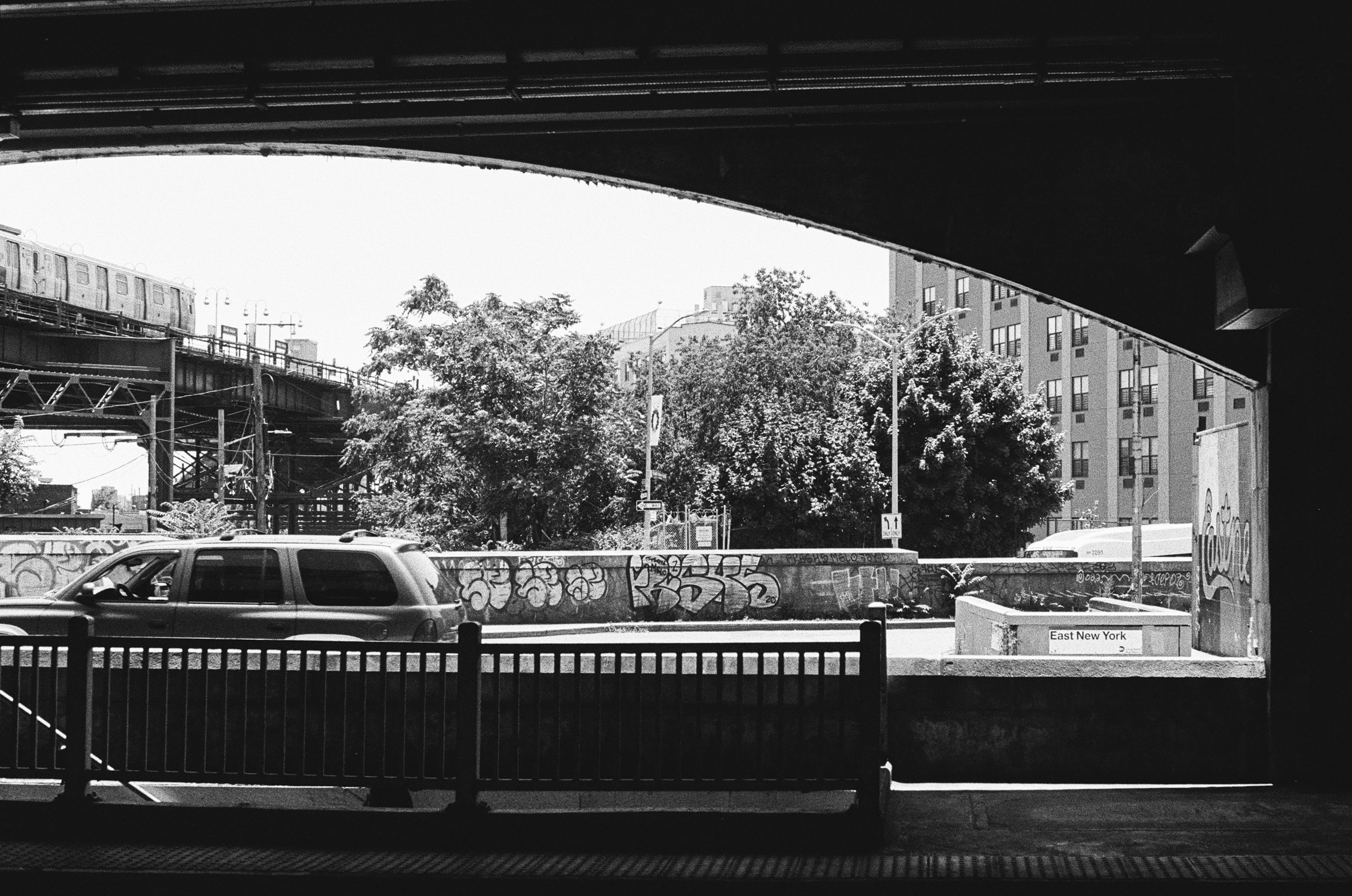
    This is the other subway-style underpass entrance, on Van Sinderen Avenue. The elevated structure at Broadway Junction is in the background; the two stations are only about two blocks apart.

    This photo definitely exaggerates it but, thanks to its unique construction under the Atlantic Avenue roadway, the East New York LIRR station is far from the most well-lit transit station in the city.

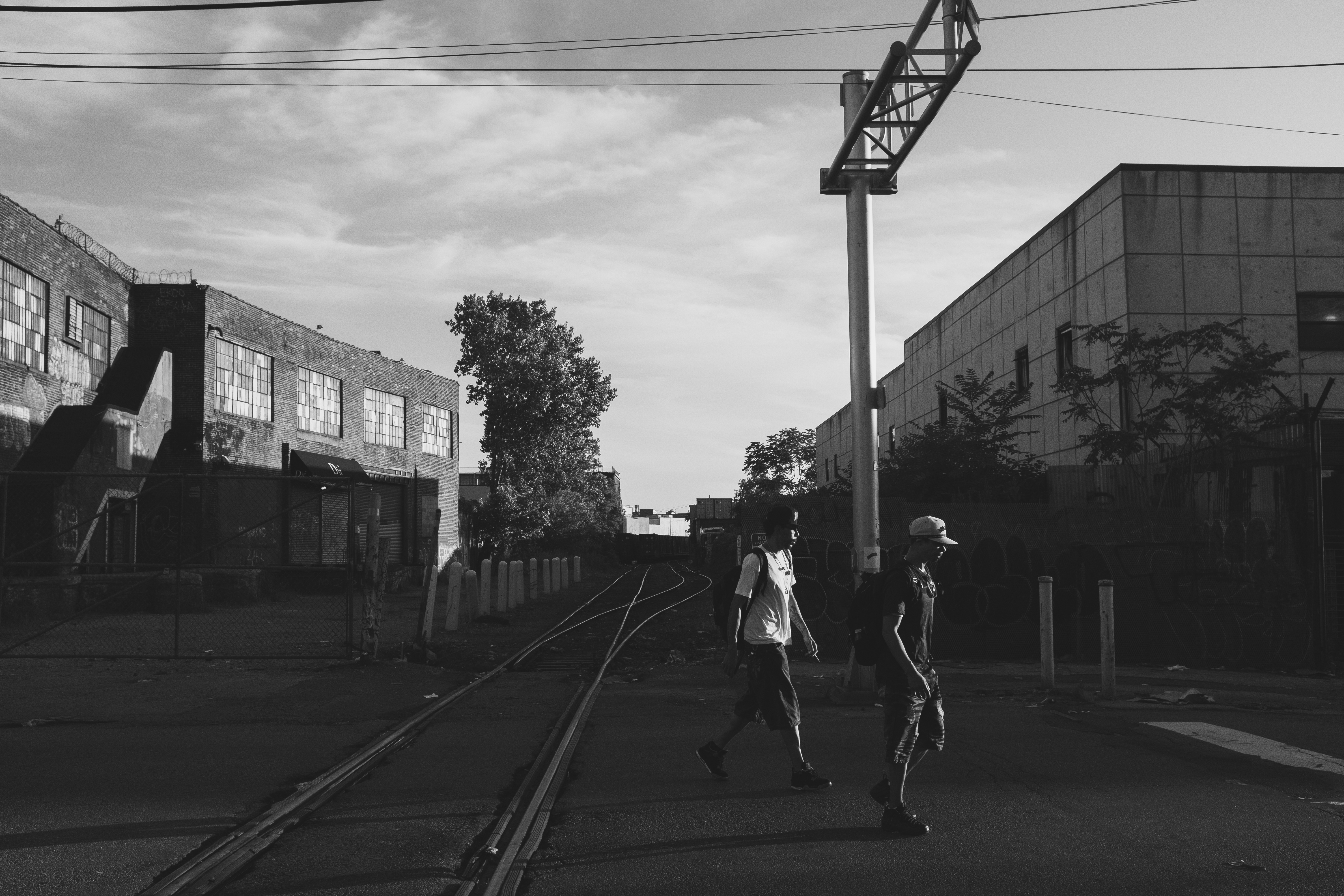
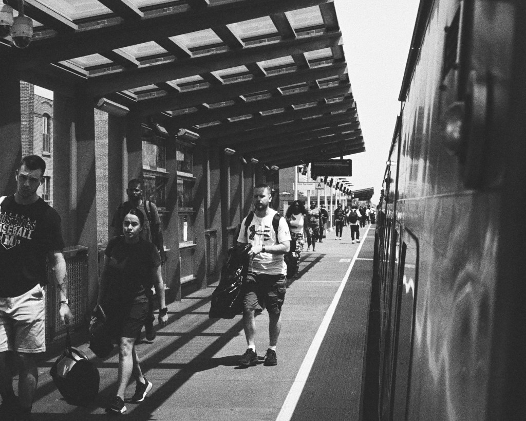
    Heading west from East New York, the next station is Nostrand Avenue in Bedford-Stuyvesant. Before this station, the line rises on to a viaduct that is very similar to NYC’s elevated subway lines. It’s fairly unique in New York City to be on a commuter rail train running so close to urban housing—this section of the line is very reminiscent of elevated subway lines (the M through Bushwick and Ridgewood comes to mind specifically, as that also runs very close to its neighbors’ windows).

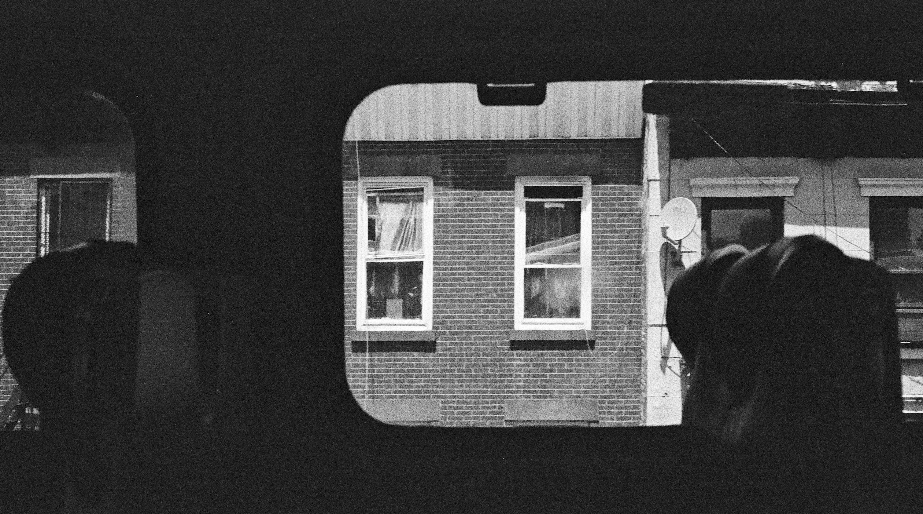
    The Nostrand Avenue station really just feels like any other elevated subway station. It’s just missing a subway station’s frequent service!

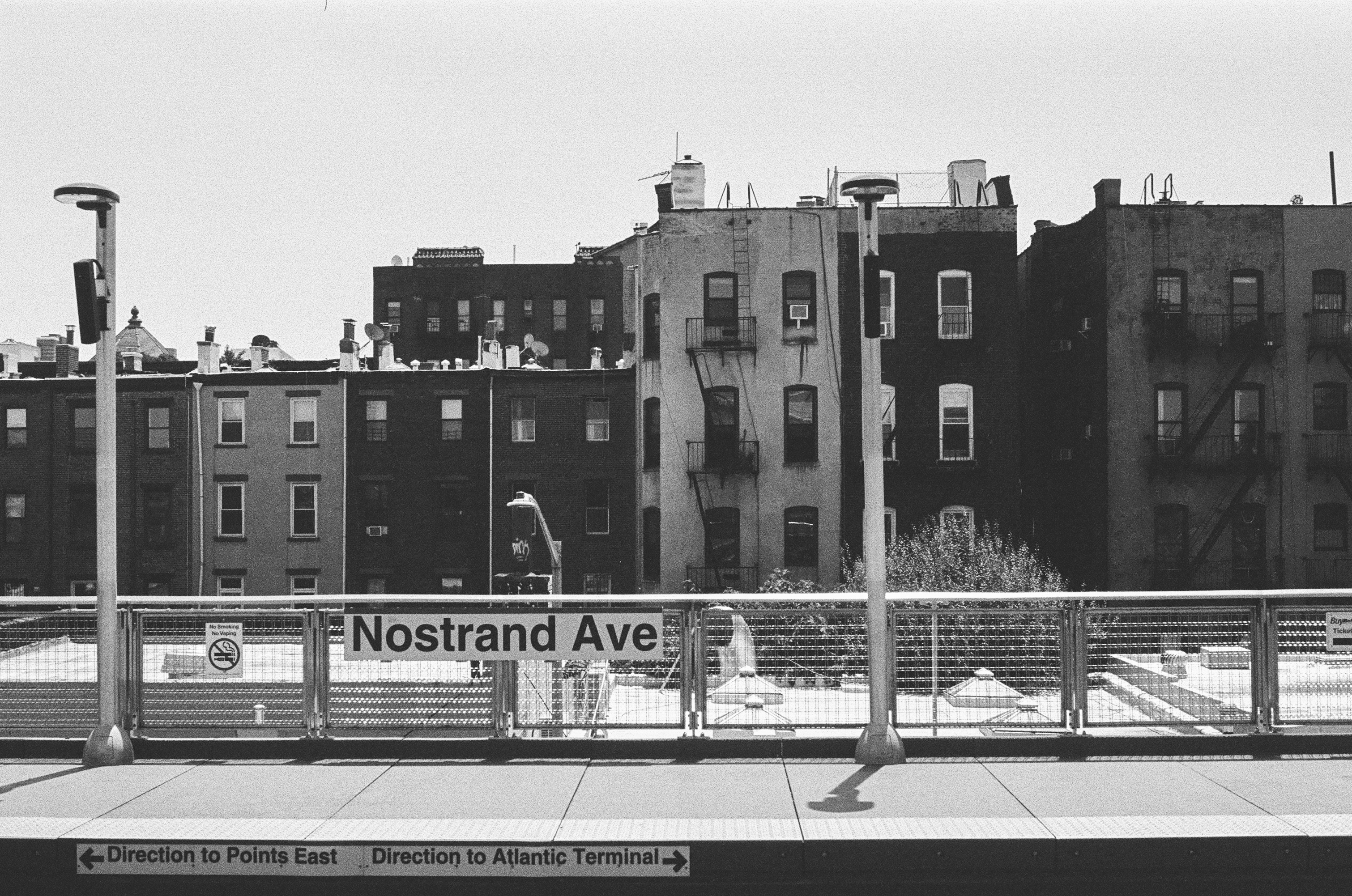
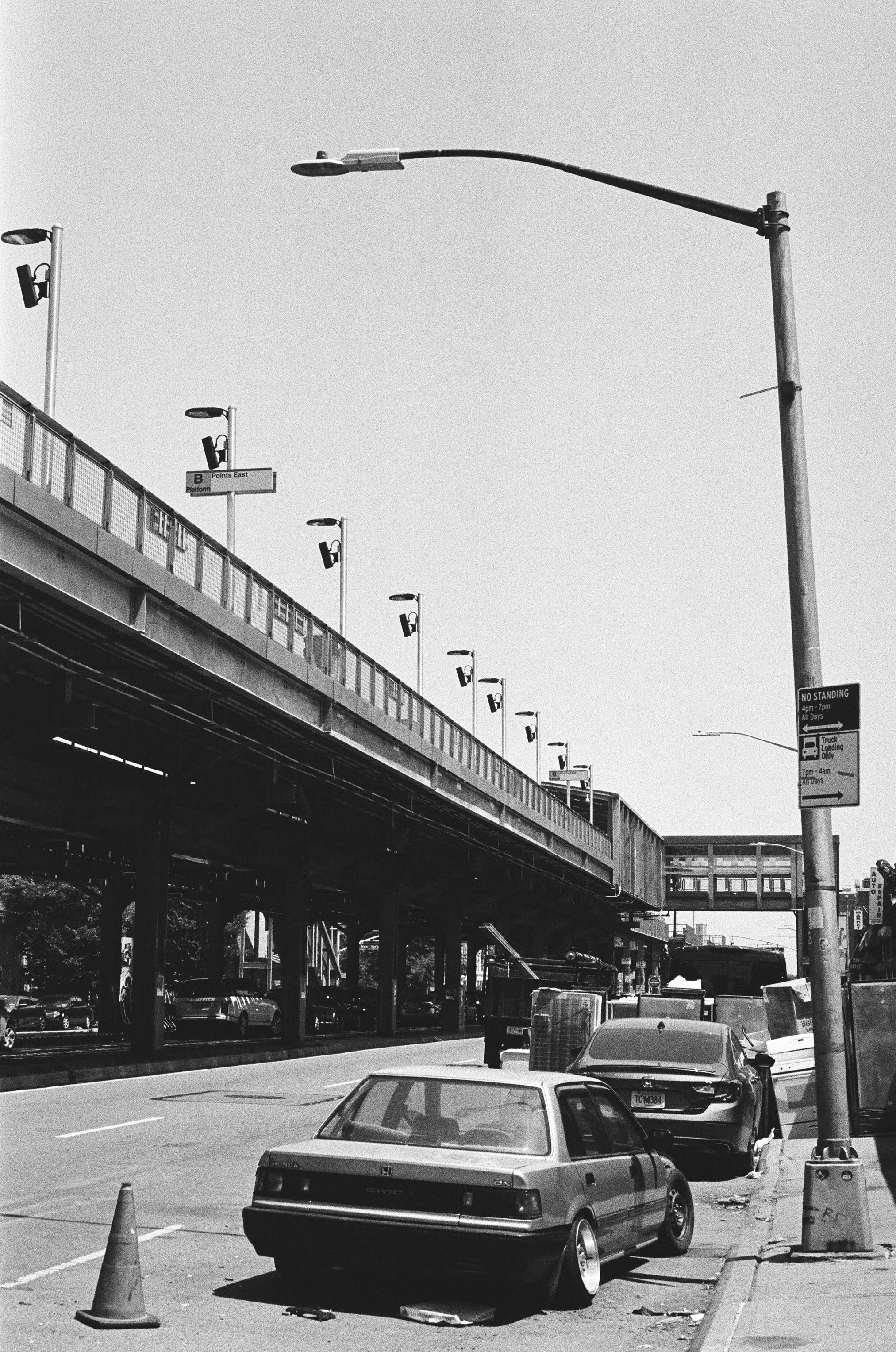
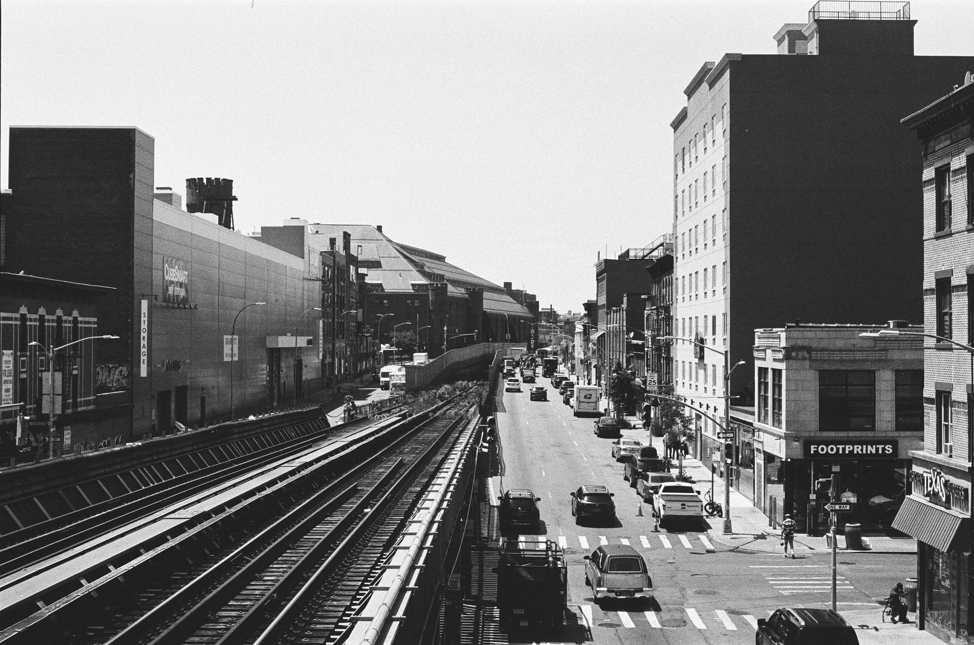
    The land use around the Nostrand station is not ideal, though. Despite its close proximity to residential density and busy commercial corridors on Fulton Street and Nostrand Avenue, Atlantic Avenue is mostly auto repair shops, so there are a lot of broken-down—or just straight-up broken—cars sitting by the curb. The lack of pedestrians leads to a classic chicken-egg problem of arterial roadways: without pedestrians, Atlantic is treated as a de facto highway, making it even more hostile to pedestrians, and discouraging the growth of any pedestrian traffic that might help make traffic calmer.

    In addition, the vast spaces underneath the viaduct are left almost entirely unused. However, the station was extensively rebuilt recently, and its entrances are in far better shape than those at East New York.

    It is worth noting that it does not have to be this way! Many other cities also have elevated rail viaducts, and some of those cities have taken advantage of the space underneath them to enhance the public realm. Even if the space under the viaduct is unused, other cities also demonstrate how roadways around viaducts can easily be more friendly to pedestrians.

    Land use and streetscape aside, the Nostrand Avenue station definitely gets used. The crowd coming off a midday train from Long Island wasn’t tiny.

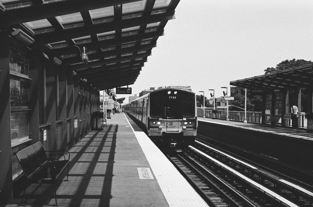
    Continuing west from Nostrand Avenue, the Atlantic Branch goes back underground for its last mile and a half to Downtown Brooklyn.

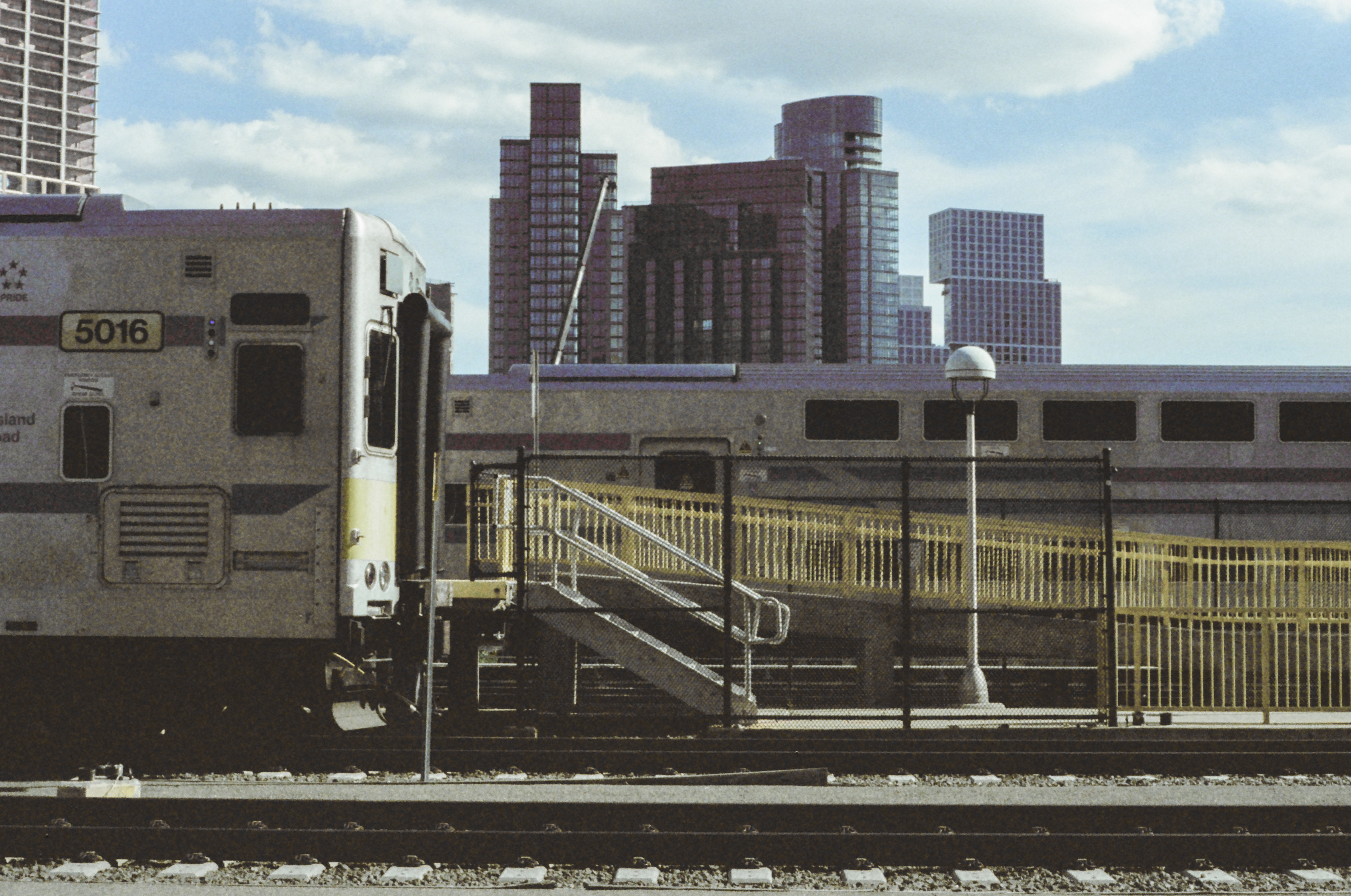
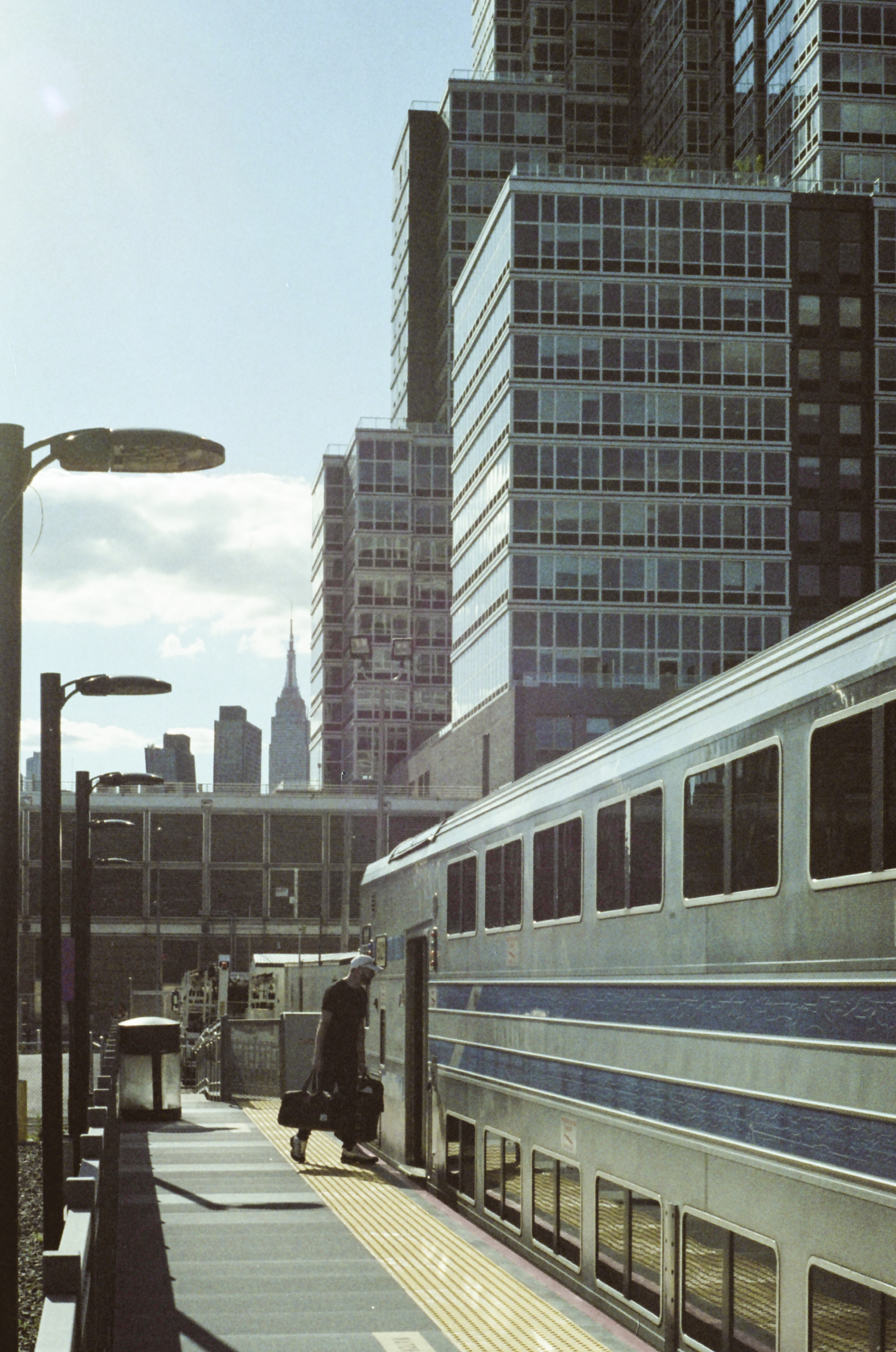
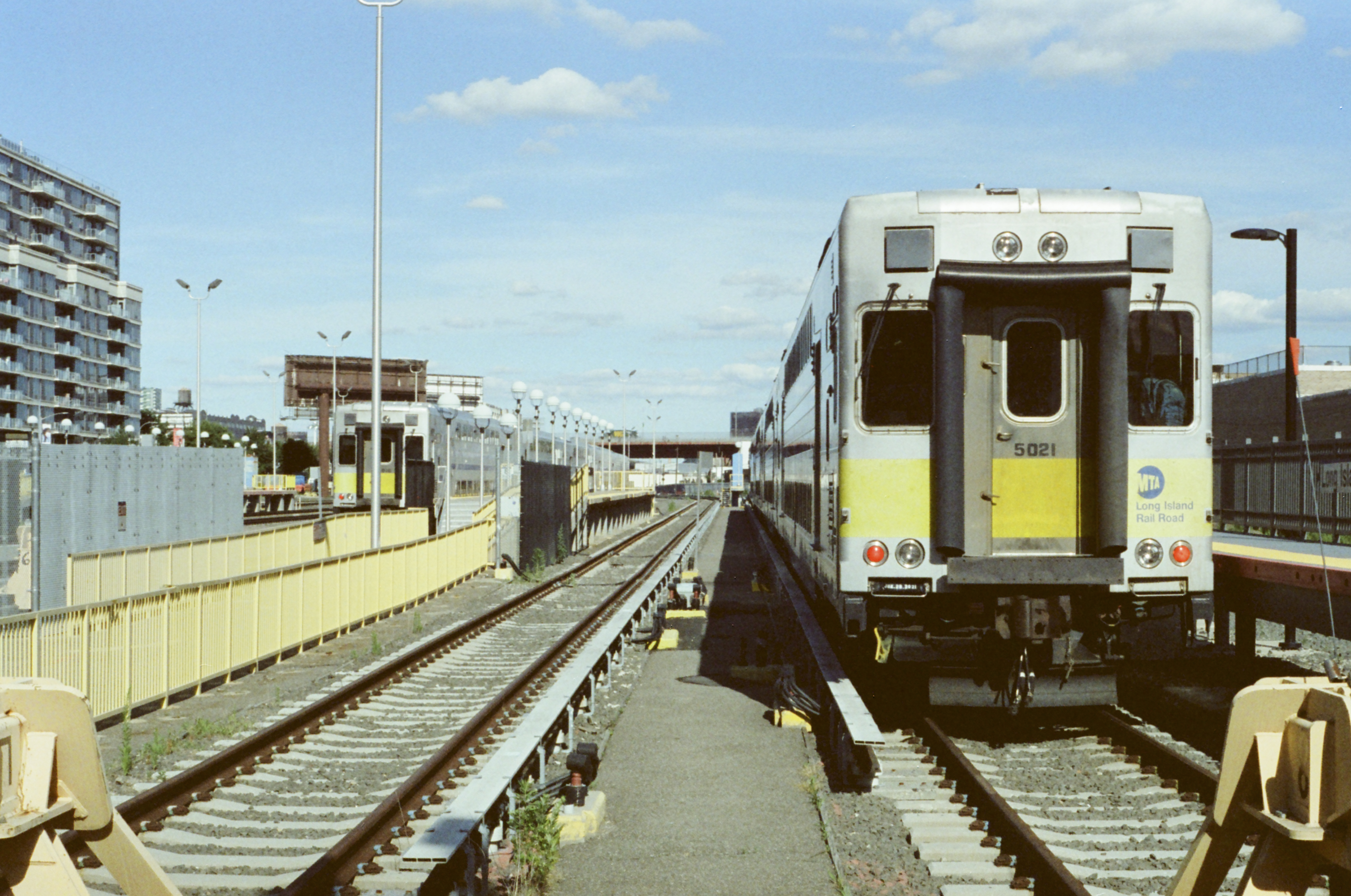
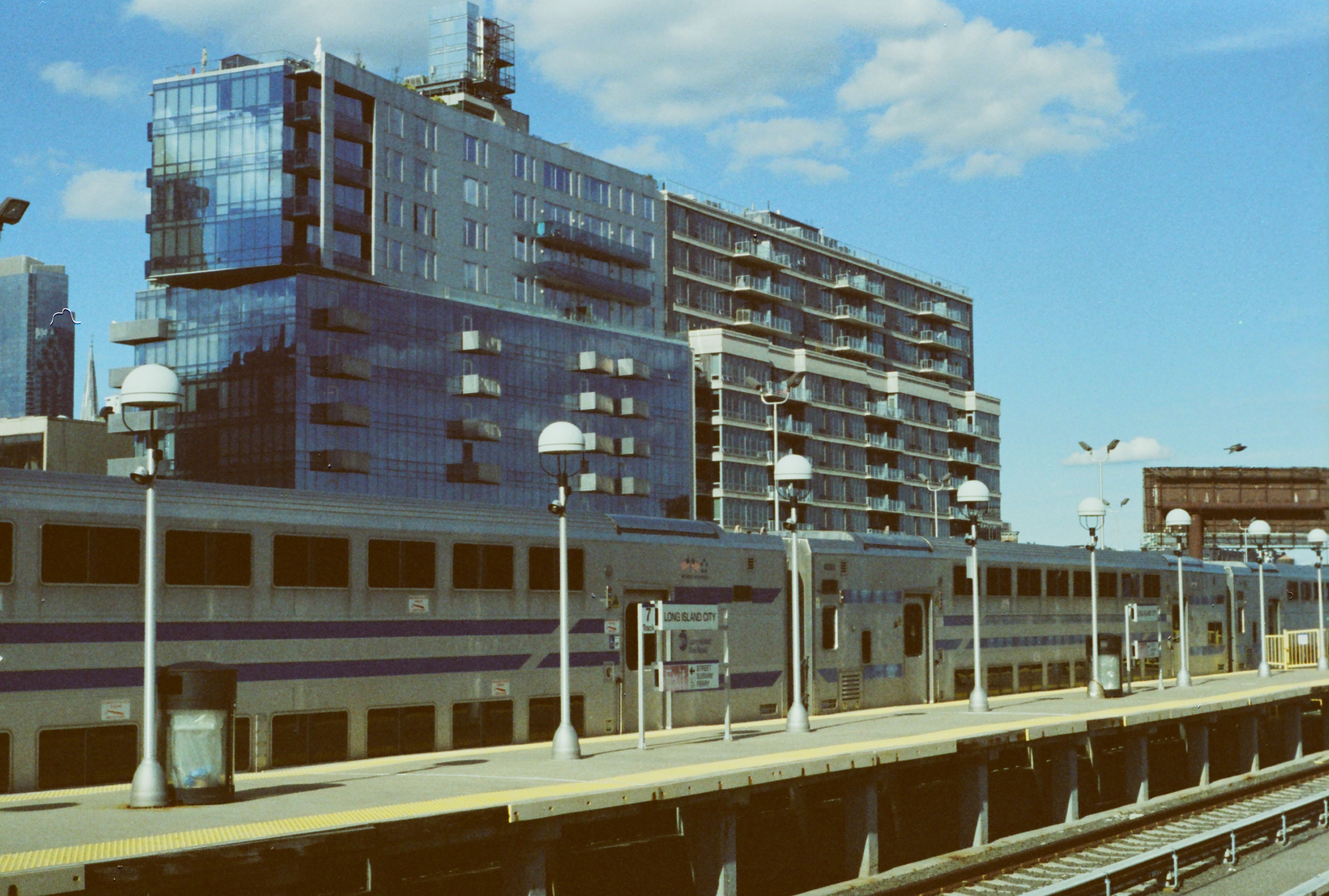
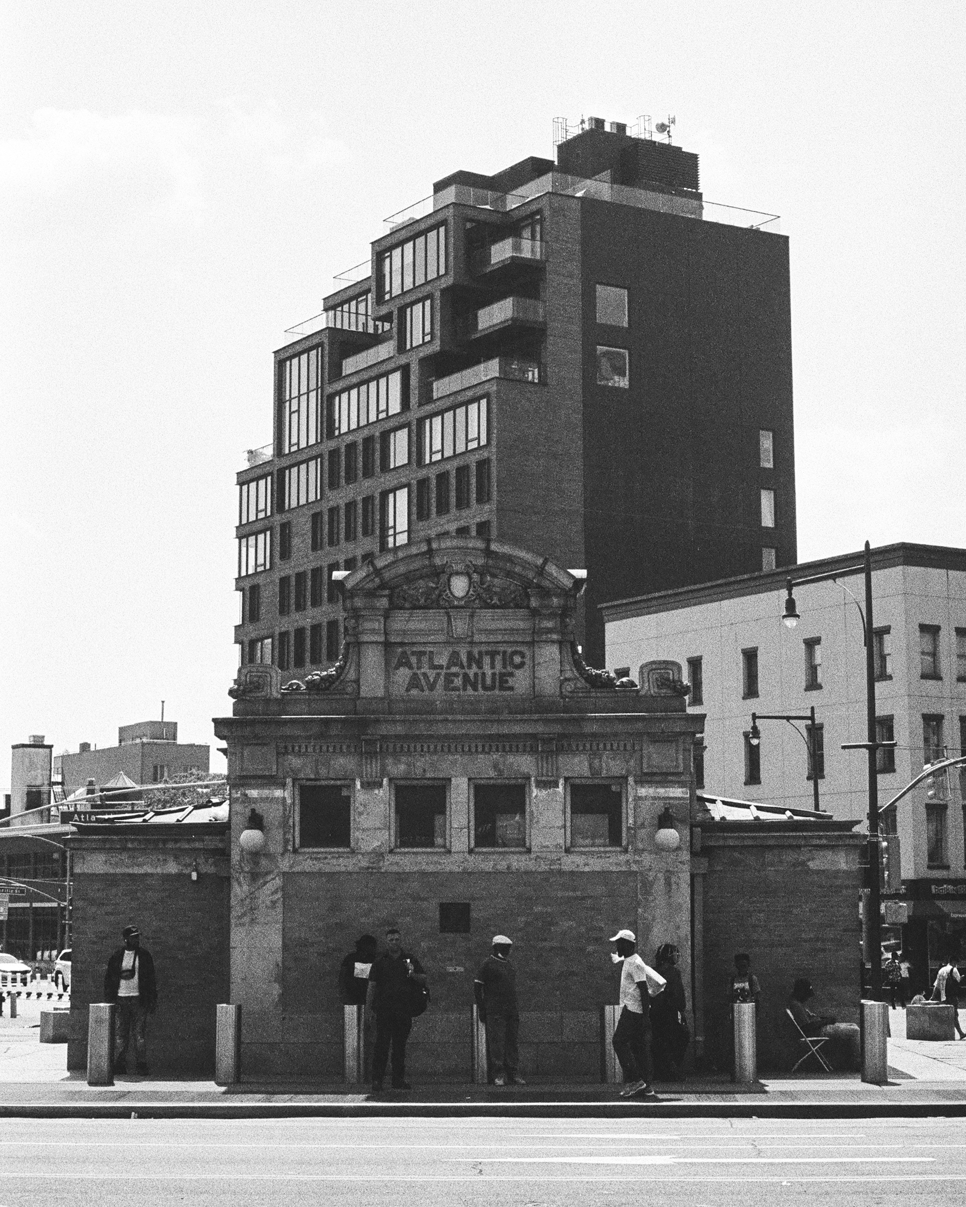
    Atlantic Terminal (formerly Flatbush Avenue) is where the branch comes to an unceremonious end, just shy of reaching Manhattan. It is one of a few Long Island Rail Road terminals which remain as monuments to a time before trains could cross the East River, though the Atlantic Terminal stop sees much more use than its brethren upriver in Long Island City.

    It’s a fairly unremarkable station itself—though it was renovated relatively recently—and it is connected to the massive Atlantic Avenue/Pacific Street/Barclays Center subway hub, which retains an original 1908-built entrance designed by the Interborough Rapid Transit company (IRT).

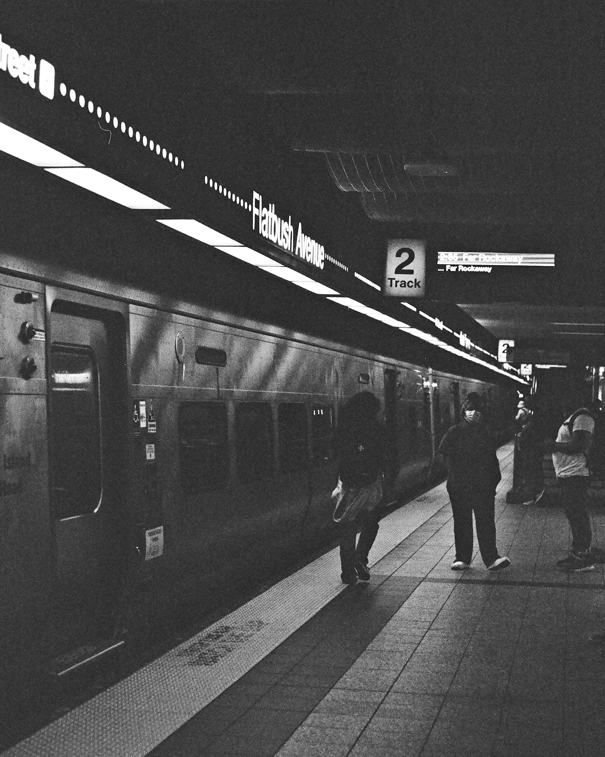
    This concludes this look at some of the LIRR’s Atlantic Branch. Its nature—a rapid transit-esque line, but without frequent service; a line which services busy neighborhoods, but ends short of the city center—makes it a frequent subject of discussion among New York-area transit advocates’, who often envision the line extended to Manhattan (or further to New Jersey) and hosting frequent, subway-like service.

    To some extent, the MTA has acknowledged the need to bring the Atlantic Branch into the fold of transit in New York City. One of the barriers to high ridership, besides infrequent services, is the high cost of commuter rail fares. In 2018, the MTA began offering a special Atlantic Ticket, which halved peak-time fares on Atlantic Branch trains, and became quickly popular. It is more proof, if proof were needed, that when public transit is made easier-to-use, it will be used. With further improvements to affordability, service, and stations, the Atlantic Branch could easily become a critical transportation artery for Brooklyn & Queens. The infrastructure is there and waiting.

  • NYC’s Most Forgotten Train Station

    NYC’s Most Forgotten Train Station

    Few New York City neighborhoods have seen a recent explosion of development on the scale of Long Island City’s waterfront. An industrial area throughout the 20th century, Long Island City has undergone a recent transformation into a hub of residential development, spurred by its close proximity to Manhattan and numerous inter-borough subway connections.

    There are few artifacts of the neighborhood’s history still standing. One such artifact is the Long Island City station of the Long Island Rail Road, which is probably New York City’s most-hidden and certainly one of New York City’s least-used railroad stations.

    Along Center Boulevard, the closest street to the waterfront, new construction has brought density at a nearly-dazzling scale to Long Island City.

    Long Island City still retains a few relics of its more-industrial history, most notably the two gantries labeled “Long Island,” which give Gantry Plaza State Park its name. These gantries controlled the Long Island Rail Road’s car float operation, which transferred freight cars carried on East River barges to railroad tracks for the remainder of their journey across New York City or to Long Island.

    Some of the first shiny, new R32 subway cars were delivered to New York City by Long Island Rail Road car float in 1964. These would have been some of the final deliveries made by car float, as the gantries, and the rail line which led to them, was disused by the 1970s. (Below image credit: Gerald H. Landau, via nycsubway.org, link)

    Only a few sections of track remain in Gantry Plaza State Park, which opened in 1998, that give any hint that the waterfront was once the end of a railroad line. The North Shore Freight Branch ran alongside the waterfront before joining the main line of the Long Island Rail Road.

    Before tunnels under the East River were opened in 1910, Long Island City was the westernmost reach of the Long Island Rail Road, and passengers transferred to ferries for access to Manhattan. Since the opening of the tunnels and the end of ferry service in 1925, the station, left without a purpose and which now gets very little use, has sat as a monument to an era of very different travel patterns.

    The modern, and growing, skyline of residential towers on the Long Island City waterfront provide a stark contrast to the sleepy train yard and station which sit in their shadow.

    But people who live nearby could be forgiven for not realizing this station actually exists—let alone that they can take a train to or from it. Access to the station (at least right now, this shouldn’t be permanent) is along a temporary sidewalk; a single and easy-to-miss sign is the only confirmation that you are approaching the entrance to a train station.

    Long Island City is primarily a storage facility for the Long Island Rail Road’s diesel equipment which, because it cannot enter Manhattan, must be stored in Queens between the morning and evening rush hours. Despite this, the station has seen some minor improvements in recent years: the two platforms pictured here are new additions, as is the electrified third rail on these tracks. (Previously, only three non-platform tracks in the yard were electrified).

    These two platforms are not easily accessed or visible from the current street entrance, and getting to them involves a walk around the perimeter of the yard. However, those platforms were the ones in use on this particular evening.

    Nonetheless, the station does see some use: a handful of evening commuters at Long Island City board trains heading east towards Long Island. The number of people living within walking distance of the station has grown tremendously in the past two decades, but the station remains quiet.

    This is in large part due to the fact that trains only run to Long Island a few times per day—there isn’t a large Western Queens-to-Long Island commute market, and the Long Island City station has no direct subway or bus connections (and the mediocre pedestrian access shown above).

    The Hunterspoint Avenue station, a short distance east, is connected to the subway and, though service there is still limited, it receives significantly more ridership than Long Island City.

    Carrying six passengers, the 5:30 to Port Jefferson—one of three trains from Long Island City in the evening—departs the station.

    Most trains to and from Long Island City are peak-time trains, and at peak prices, a ticket to Jamaica is $10.50. We should be under no illusion that this station would be packed if tickets were cheaper—but there is almost certainly no world where stations like Long Island City are better used if commuter rail fares stay unchanged.

    For as long as the station is important to train storage—which it will be for the foreseeable future—it will likely remain open to passengers, if very seldom-used. It is unique not just in New York City but in the world: there are not many other places where growing urban neighborhoods and near-disused rail stations still coexist.

    Whether the Long Island City station will ever be busy again is an open question. Its adaptation—and that of other, similarly-lightly-used urban railroad stations—to New Yorkers’ modern travel needs should be on the minds of regional planners, policymakers, and transit operators as the city continues to grow, and more people hopefully turn to public transit for urban mobility.

    Photography Notes

    These photos were shot on Cinestill 800T film. Considering that the environment in which these were taken—a very bright, sunny evening—is the precise opposite of what this high-sensitivity tungsten-balanced film was designed for, I’d say it held up quite well. Undoubtedly, though the out-of-place nature of this film choice is evident in a number of the photographs—because of that, I wouldn’t consider this a totally fair look at what this film can really do!

  • The Bushwick Branch, Newtown Creek, and industrial Brooklyn

    The Bushwick Branch, Newtown Creek, and industrial Brooklyn

    Most New Yorkers probably don’t see freight trains very often. Decades ago, freight rail played a more visible role in the delivery of goods to and from New York City, before mid-century suburbanization and deindustrialization helped bring about the disuse of much of the city’s freight rail infrastructure (and, as a result, gave us the High Line).

    The Bushwick Branch is a spur of the Long Island Railroad’s Lower Montauk Branch, and runs from its junction with the latter line in Maspeth, through Ridgewood and its namesake neighborhood of Bushwick, to its terminus in East Williamsburg. The branch carries freight only, and is symbolic of the era when rail was dominant. Though trains are infrequent today, there remains lots of evidence that it was once a much more important artery to the city.

    The Newtown Creek is one of the city’s most storied waterways. Once at the center of New York’s industrial economy—carrying more goods than the Mississippi River in 1912—the history of the creek is also a history of urban environmental crisis. Petroleum was the dominant industry along the creek, and pollutants wiped out all natural life from the creek by 1900. Water quality has also been harmed by the creek being part of NYC’s combined sewer-overflow system, which diverts raw sewage into the creek during heavy rain events that overwhelm the sewer system.

    Stretching from the East River in Long Island City to Maspeth and East Williamsburg, the creek and its tributaries (“kills”) are crossed by seven bridges, which range from some of the oldest to some of the most modern in the city. The Kosciusko Bridge—where the top row of photos were captured—opened in 2017 and carries the Brooklyn-Queens Expressway (and also pedestrians and bikes), replacing a prior bridge of the same name. The Grand Street Bridge, dating from 1902 (and subject of the third row of photos), is a swing bridge, but has not been opened since 2012. Narrower than the road it serves and increasingly difficult to maintain, replacing the bridge has been discussed for years (and may finally be happening).

    More Views Of North Brooklyn Industries